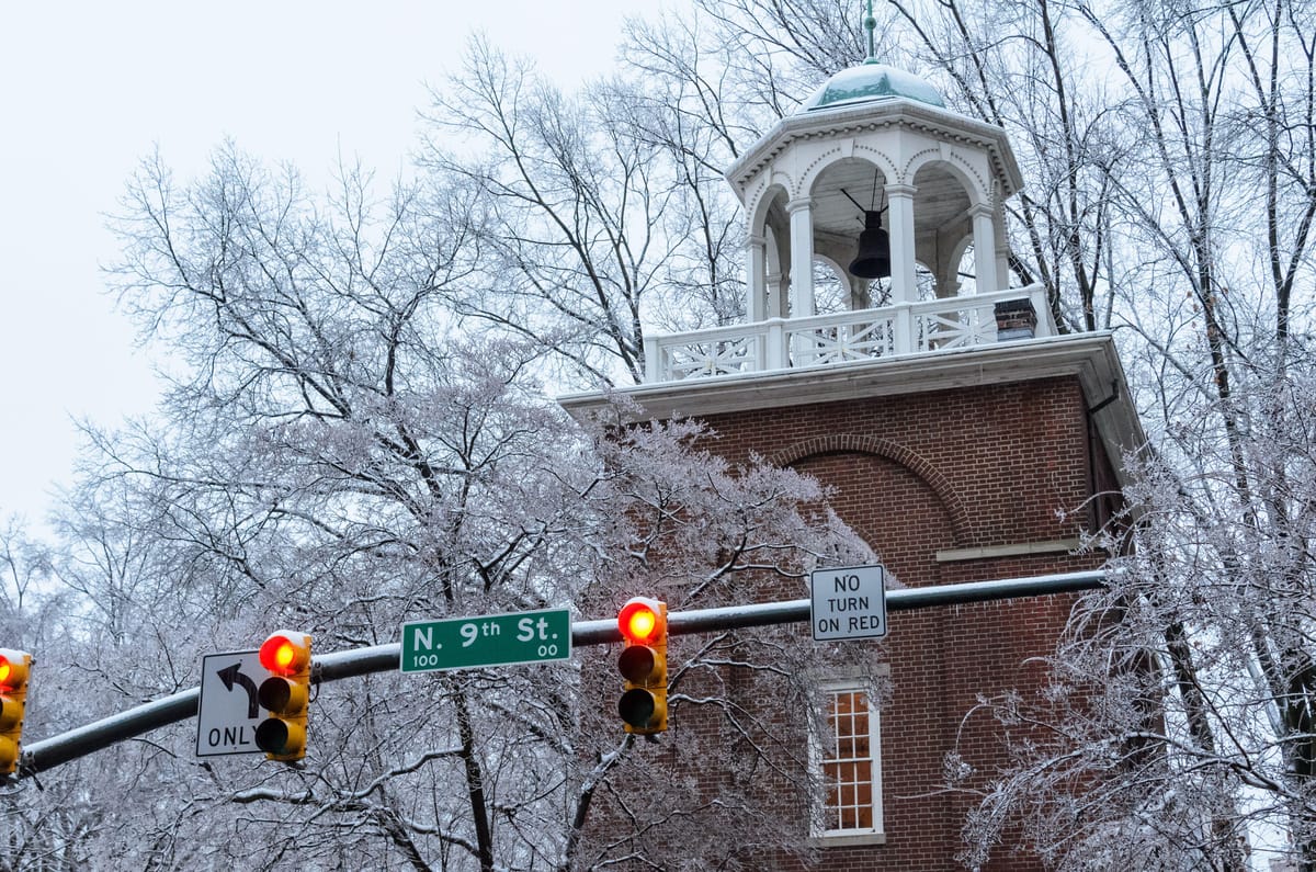
The cold goes on for RVA
Tuesday was the coldest day in Richmond for more than two years. The high of 23 degrees marked the first time since December 2022 that we did not reach the freezing mark. We came close earlier this month, but we did manage to reach 32 degrees on January 8.
This means Richmond has now had seven days this month at least 10 degrees colder than normal. By comparison, we only had 14 such days in all of 2024, and a few more especially cold days are ahead before Richmond gets out of the freezer.
But no record lows have been set. The best chance of reaching a record is on Thursday morning, when it will be close to 10 degrees, as the record low on that morning (6° in 1936) is unusually high compared to the days around it.
Cold spell part of a larger pattern
The same jet stream flow allowing the intense cold to descend into Virginia from the Arctic is also responsible for the snow that fell on Tuesday from Houston to New Orleans.
An unusually large surge southward in the jet stream — and a small wave of air riding along it — helped form the storm, and the strong temperature contrast between the warm ocean water in the Gulf of Mexico and the frigid air over the land provided the energy for the storm.
Not coincidentally, this is all related to the polar vortex. Although that term gets used rather loosely, it is an actual meteorological phenomenon. Effectively, the polar vortex is an area of extremely cold air, deep through the atmosphere, encircling the area within several hundred miles of the north pole.
Wind around the polar vortex travels in waves north and south away from the pole, and on occasion, one of those waves can swing unusually far south, or even break away, sending air from the pole much farther south than normal.
The air that rapidly moves along that boundary between the vortex and the area to the south makes up one branch of the jet stream. Another branch is farther south, marking the boundary between the more typical cold air we have in the winter and the warmer air still farther south — more often found in Florida.
How these two branches of the jet stream interact with each other governs storm formation, and in the case this week, their configuration produced the storm that brought accumulating snow to the Gulf Coast.
In another unusual turn, Richmond is too far north to get much snow from this storm, as we are deeply entrenched in cold, dry air. But it will continue onward to the northeast, so do not be surprised to see pictures of snow on the beaches from Hampton Roads to the Outer Banks on Wednesday.
Weekend and beyond
No snow or rain is coming through this weekend in Richmond, and temperatures over the weekend will begin to recover, inching into the 40s on Saturday and approaching 50 on Sunday.
More typical temperature swings will follow for the last week of the month. But on average, afternoons will be in the 40s and nights will be in the 20s to near 30.
A couple of storms appear to take shape for us in the next week or so — one toward the middle of next week and the other within a day or so of Groundhog Day. As the especially cold air currently locked over Richmond will retreat by early next week, there is still much uncertainty about either of these two storms regarding precipitation type and intensity. Early indications suggest some light rain from them, but it is too early to make any plans based on what we know now.
Our current level of cold will not persist into February. Next month, we expect temperatures to be more consistently near or above normal. This does not mean some cold spells will not develop next month, but the recurring cold shots of this month will be hard to duplicate once we turn the calendar.


