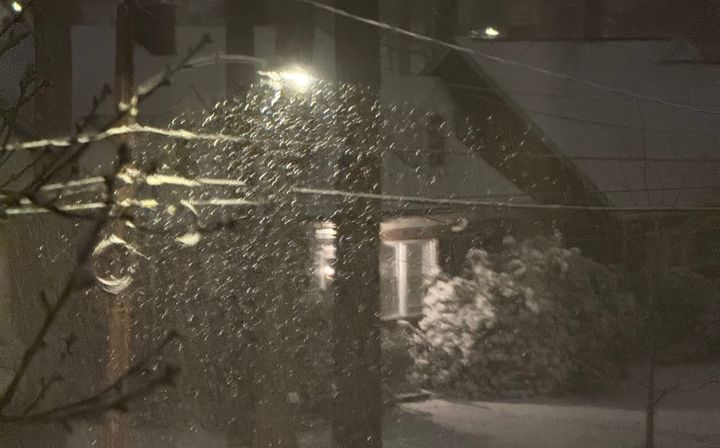

Snowstorm arrives Wednesday, conditions won't deteriorate until that night
Before attacking the snow, a quick update on the James River. In Richmond, the river crested on Tuesday afternoon and will slowly fall on Wednesday, returning to its banks before midday Thursday.
With that, on to the main event:
All remains on track for snow for Richmond, with the first few flakes in the air on Wednesday morning. Then the snow turns more consistent during the afternoon, which is when the accumulation will begin.
The temperature on Wednesday will hold in the 20s all day, meaning there will not be as much melting on contact with the ground compared to the last storm — that one began when both the air and ground temperatures were higher.
This will also be a more powdery snow than the last couple of snows this season, as this is the coldest storm we have had this season, and a colder snow has less moisture content. Snowballs may not form too easily at first.
An inch or so is likely by the evening rush hour, which will make travel increasingly challenging. Also remember that snow can accumulate more easily once it gets dark, so expect conditions to deteriorate quickly after sunset.
Snow will continue through most of the night. Its intensity will come and go, and there will be a pause in the snow by sunrise on Thursday.
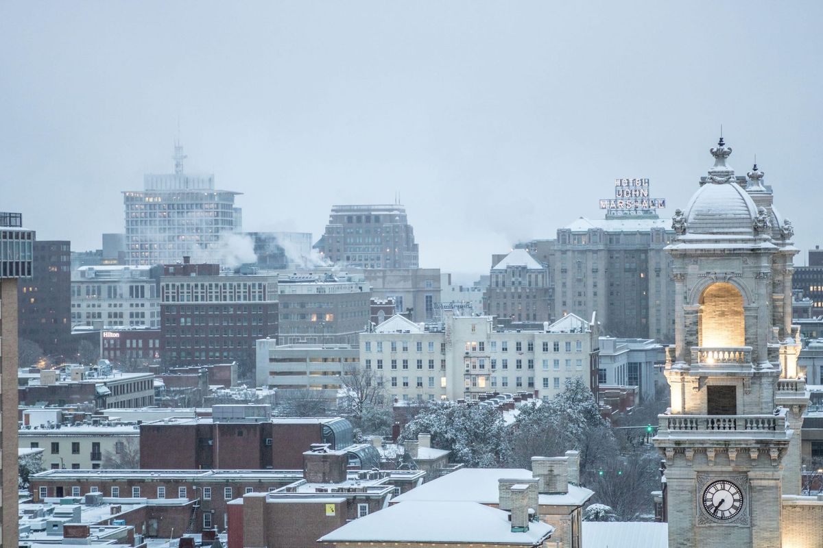
At dawn Thursday, expect between 4-8 inches of snow on the ground in Richmond and a temperature around 20 degrees.
Another burst of snow comes between daybreak and noon Thursday, lasting for 2-3 hours, but it will not add significantly to what has fallen — perhaps an additional inch.
After midday Thursday, the sky will clear and it will turn windy. If you are planning to do some sledding that afternoon, be ready for wind speeds at 10-20 miles per hour with a temperature around 30 degrees. Dress in layers and try to have something water resistant in that outer layer.
To be fair, there is not a lot of wiggle room in the snow total forecast. A quick heavier band could line up right over one side of town, adding another 1-2 inches, or some drier air may work in and cut off an inch or two. These precise locations are a forecast challenge, so let’s put some odds on the final totals:
10%: More than 12 inches
20%: 8 to 12 inches
35%: 4 to 8 inches
25%: 2 to 4 inches
10%: Less than 2 inches
The last time we had more than 10 inches of snow from a storm was December 2018 (11.5 inches). We will probably fall short of that, but if one of those heavier bands sets up in just the right place, it still might happen.
Why weather apps are all over the place
Numerous people have asked why weather apps have varied wildly with their snow forecast totals over the past several days. Most weather apps have little to no human oversight, entirely run on automated computer data. For this storm in particular, the raw data have been especially inconsistent.
More importantly, there is no standardization across weather apps. Anyone who can write code to pull in a dataset can develop a weather app. Not surprisingly, some apps are better than others.
As a result, when faced with a rapidly changing, high-precision forecast, weather apps struggle.
The same is true about radar information on weather apps. Application developers can get radar information from a number of different suppliers. Many have done the secondary work of converting the raw radar data into something more eye-catching.
But it is difficult to know if those developers are using additional FAA airport terminal radars, or just the radars from the NOAA National Weather Service. Perhaps they are using some composite of radar data. None of this is obvious to the end user.
Let the buyer beware.
Afterwards
The gusty cold wind on Thursday afternoon will gradually subside on Thursday night, the sky remains clear, and temperatures by dawn Friday will be in the upper teens. Anything that did manage to melt in the Thursday afternoon sun will refreeze quickly after dark.
The weather for Friday and the weekend promises to be quieter.
Friday looks sunny and cold, reaching around 40 degrees in the afternoon; Friday night will be clear and into the upper teens.
Clouds mix with sun both Saturday and Sunday. Saturday reaches the mid 40s and Sunday gets into the low 50s.
This will preview a slow warming trend next week. Afternoons next week will average in the 50s with nights in the 30s.
And no rain is likely again until Friday next week. Which will give all of us a break.