More rain will follow this winter storm
Depending on where you are across Richmond, the winter storm on Tuesday either ground you to a halt or was a glorified nuisance.
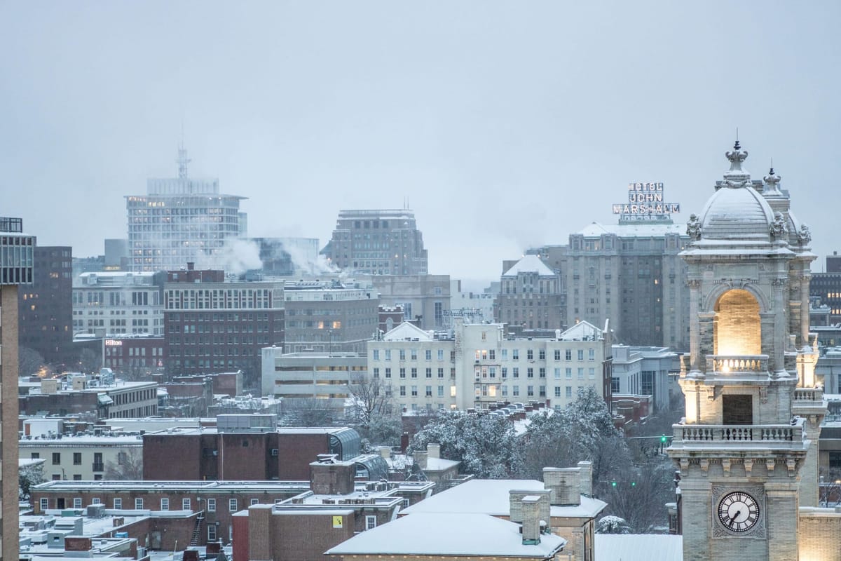
Heavier bursts of snow added more slush to the roads north of the James River and more so toward I-295 and into Ashland. There was far less slush on the roads and snow on the ground south of the James.
For the city limits and areas to the south, the accumulation forecast fell a bit short. One of the concerns we had late on Monday was a warming of the atmosphere about 4,000 to 8,000 feet overhead. Even though it was only a degree or so above freezing at that level, it was enough to start melting snowflakes on their way down toward the ground, leaving much of Richmond with less snow and far more sleet and rain.
But more than 6 inches of snow fell in a couple of counties north and northwest of Richmond, a testament to how sharp the line was between substantial plowable snow and a frustrating inconvenience.
Round 2
There will be breaks in precipitation on Wednesday, and the threat of any additional icing will end on Wednesday morning. However, several rounds of rain will return from Wednesday evening through Thursday morning.
While that will be a cold rain, it will just be rain. Temperatures hold a few degrees above freezing on Wednesday afternoon and then rise toward 40 degrees on Wednesday night.
During Thursday morning, sustainable clearing will finally begin, and the temperature will briefly surge to near 60 degrees in the afternoon with a gusty southwest wind.
Hold on though, because another burst of cold air comes in Thursday night, sending temperatures again into the 20s. Fortunately, most paved and concrete surfaces should be dried out by then, so overnight icing will not be a problem.
Friday is a legitimately quiet day, as we will be between two large storm systems, bringing us a sunny and seasonable day before the weekend system arrives.
Round 3
Although cloudy on Saturday, rain looks to hold until later in the afternoon, so there will be time to do some things outside in the morning. Occasional rain continues periodically through the night before a final surge of heavier races through around midday Sunday.
All of this precipitation, combined with what has fallen west of Richmond, means the James River will remain high throughout the weekend, with some flooding expected this weekend or early next week.
Depending on how much rain falls and snow melts upriver over the next few days, minor to moderate flooding of the James River will result. This would send water into parts of Riverside Drive, the parking lot at Pony Pasture, and probably into Willow Oaks.
Using the gauging site near Huguenot Bridge as a reference, minor river flooding begins at 12 feet, with parts of Riverside Drive beginning to flood at 14 feet.
Given the recent water issues in Richmond, it’s worth noting that the city water filtration plant is fine until the river reaches 23 feet, and that level does not look likely to happen — even after the rain this coming weekend. The highest river crest since the floodwall was completed came in September 1996, reaching 21.2 feet.
Winter is long from over
Next week looks colder than normal, although not quite into the same territory we frequented in January. Highs generally in the 40s and lows in the 20s with no precipitation through Wednesday.
And we do expect a couple of storms to develop a few states to our southwest late next week and again for the following weekend (Feb 22-23). While early, the ingredients are there to suggest another chance or two for accumulating snow in Richmond before the end of the month.
If you have been waiting for spring, you are going to have to wait a lot longer. Early signs suggest March will start with temperatures colder than normal.