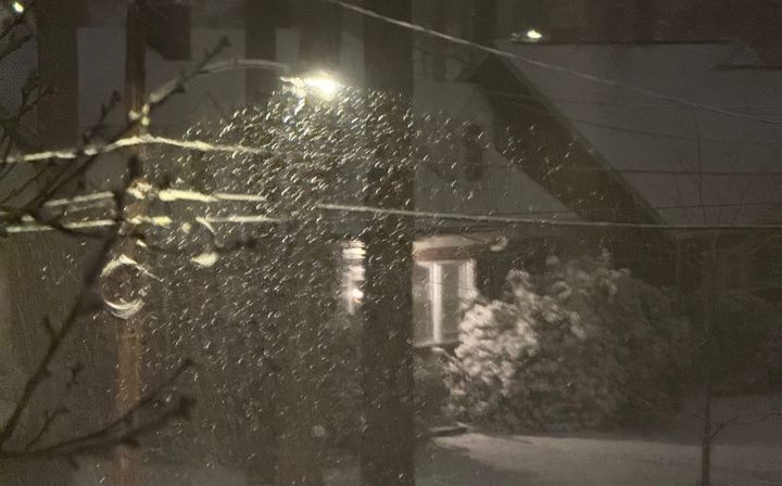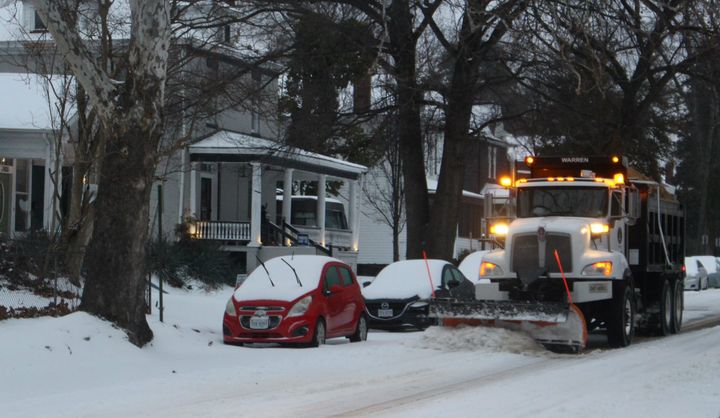
More cold in store, with another big snow chance this weekend
Once the last of the precipitation falls on Monday evening, cold will get top billing for the rest of the week, as Richmond will go through a stretch of cold weather not seen in a couple of years.
Temperatures on Wednesday, Thursday, and Friday mornings will be near 10 degrees, with some parts of Richmond edging into single digits. While not that unusual, most of the last two winters have skewed much warmer than normal, making this week seem even colder.
Not too long ago, around Christmas 2022, Richmond had four consecutive nights below 20 degrees. A little further back, in January 2018, Richmond had a run of nine consecutive nights below 20 degrees. The coldest of those was -3 degrees on January 7, which is also the last time Richmond was below zero.
But no record lows this week will be threatened.
Tuesday through Friday this week will have afternoon temperatures hovering a few degrees below freezing, which means most of the snow and ice on the ground after this storm will stay in place for the rest of the week.
But that does not mean everyone will be stuck inside. Tuesday through Friday will be generally sunny. Black pavement with a sunny sky will absorb energy from the sun, regardless of air temperature, helping melt ice and dry out wet roadbeds. And of course, treated roads will start the process by lowering the freezing point of water by a few degrees.
However, shaded areas and light-colored surfaces — like outdoor steps and ramps — will likely be damp or icy most of the week. Simply walking on sidewalks may be challenging for a few days.
Tuesday, Wednesday, and Thursday will also be breezy, with the most consistent winds coming Tuesday. With afternoons near 30 degrees, the wind chills will often be in the teens to lower 20s.
When outside, remember to dress in layers rather than a singular heavy coat. Non-moving air is a strong insulator, so wearing two or three layers creates multiple areas of trapped air between your skin and the outside cold.
Not coincidentally, this is also why the coolers we take to the park or the beach work so well in the summer. Most of these have a layer of dead air in between the interior and exterior surfaces.
Another storm looming
As mentioned last week, the cold and active weather pattern is expected to continue deep into January, and once the worst of this cold spell edges back on Friday, there is another storm to monitor for Friday night and early in the weekend.
It is too far ahead to promise amounts for that storm, as we have already seen with the current storm, precise snow forecasting only 24 hours in advance is challenging enough.
But the next storm will approach from the southwest. The current storm approached from the west. This changes how we think about the precipitation type for Richmond.
Early signs suggest the center of this next storm would travel northeastward across North Carolina, keeping us on the much colder side of the storm, and cutting back on the chance for ice or rain. So keep Friday night and Saturday in the back of your mind for another chance at accumulating snow in Richmond.
Dry and static
But between Tuesday and Friday night, there are no signs of precipitation in Richmond, and because the air is going to be especially dry this week, you may notice your skin dries out more quickly.
Plus, there will be more static electricity around, as there will be much less water vapor in the air. Some basic chemistry explains the connection.
Water vapor molecules are electrically neutral, but they have a small electrical polarization — negative on one side, and positive on the other. In Virginia, from spring through fall, there is usually enough water vapor in the air to repeatedly take tiny amounts of electrical charge off of your body, so charges do not build up on your body and static electricity is not an issue.
But when the air is especially dry, there is far less water vapor in the air, so small bits of electricity can build up in your body, waiting to discharge as a small shock when you touch metal — or another person.
You can also test this out with a comb and a stream of tap water falling slowly from your kitchen sink. Comb your hair to build up charge, then have someone else turn on the faucet. Move the comb close to the stream of water and you might be able to see the water bend. But do not get the comb wet, that will eliminate the difference in charge between the comb and the water, ending the kitchen experiment.
When will it warm back up?
Not soon.
The weather pattern will be colder than normal for another two weeks, and possibly even for three weeks. A couple of more disturbances are likely to form new storms in the Gulf of Mexico later in the month, subsequently moving them northeastward in our direction.
No guarantees, but this is a January weather pattern that will continue to be favorable for snow lovers.


