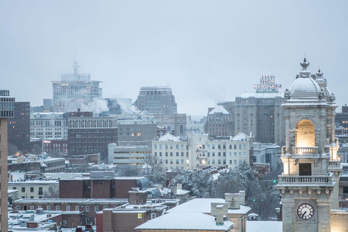
Brief thaw may give way to snow in RVA
A pause in the ongoing thaw comes Wednesday, then a prolonged period with more typical February temperatures returns next week.
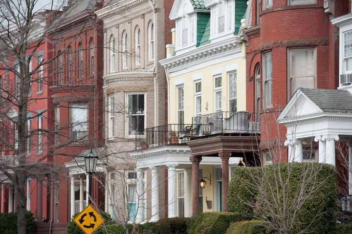
Tuesday reached 74 degrees in Richmond, breaking the old record for the date (72 in 2020), and it was the warmest day since November 11 (77 degrees).
But spring is not here, not by a longshot.
Cold rain is ahead Wednesday night and Thursday in Richmond, and be on the lookout for ice if you are traveling north toward Fredericksburg or west toward Charlottesville, the Blue Ridge, or the Shenandoah Valley.
After another brief weekend warm up, we may have to think about snow next week.
Snow next week?
After the cold rain Wednesday night and Thursday, the next big thing to watch comes in the middle of next week — once the colder air returns on Monday.
A large storm system will approach from the southwest on Tuesday or Wednesday next week, and early signs suggest a legitimate chance of accumulating snow in Richmond — a few inches or so. To emphasize, big snowfalls in Richmond are highly dependent on precise storm track, and it is simply too early to know that level of precision this far in advance.
A wetter pattern and some river watching
On a broader scale, Richmond is about to go into a wetter weather pattern over the next couple of weeks. Four or five significant storm systems will pass through Virginia between now and February 19.
The James River came within about a foot of flood stage on Monday and is now in a slow decline, but repeated rain over the next couple of weeks will keep river levels higher than average.
Much of the data suggest about three inches of rain (or snow melted down into liquid) over the next two weeks. If the amounts are higher, especially in areas upriver toward Lynchburg and Charlottesville, we will have to watch the river more closely for flooding this month.
Just how cold was January
Not to discount it, but it was far from being remarkable in the long-term records. Last month was the 20th coldest January in Richmond since daily temperature records began in 1897.
Ironically, it was also the warmest January on record globally. How do we reconcile?
A persistent flow of air came into Virginia from the northwest during January, also keeping most of the eastern U.S. colder than normal. Several colder waves of that air surged down to the Gulf Coast — setting up their historic snowfall.
But we never got below 9 degrees in Richmond last month, so the magnitude of the recent cold is not as strong as in decades past. We have to remember that when it gets cold in Richmond, that cold air has to arrive from somewhere — the Arctic.
Globally, the warming climate is not uniform. The Arctic is warming 3-4 times faster than the rest of the world, meaning the source region of Richmond’s cold air is not as cold as it was decades ago.
For example, last month was 4.8 degrees colder than normal. The last time Richmond was more below normal for an entire month was February 2015, and that was exceptional — 2015 is the only year of the 21st century to have any record lows in February. By contrast, 12 of the 29 record highs in February have come since 2002.
Winter will be cold in the years and decades to come, but prolonged cold, like last month, is already becoming less common.
Data gathering
The mention of climate change has been pulled from many federal websites in the past month. At last check, the NASA Climate Change site remains active, but it appears things are changing very rapidly.
The impacts of the warming climate are different in separate parts of the world, but the data are conclusive across multiple international organizations — the climate is warming from the overuse of fossil fuels. Hiding that information will not change it.
The scientific evidence for climate change can also be found at the U.K. Met Office or Australia’s National Science Agency, CSIRO.