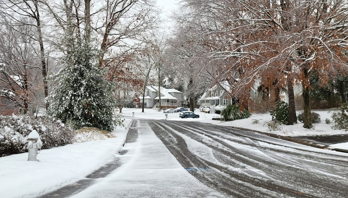
Arctic chill to continue for RVA, with more chances for snow before February
No question it has been cold in Richmond this month, especially compared to the last few Januaries.
Since daily weather records began in 1897, this January has been the 16th coldest on record (32.1 degrees) though its second week. During the 21st century, only 2010 and 2018 were colder to this point — each by a couple of degrees.
Last year to this time, the average temperature was 16 degrees warmer than now.
But it has been far colder in Januaries past. Through this time of year in 1981, the average temperature in Richmond was 23.9 degrees — eight degrees colder than this year.
Cold sticking around, with more snow potential
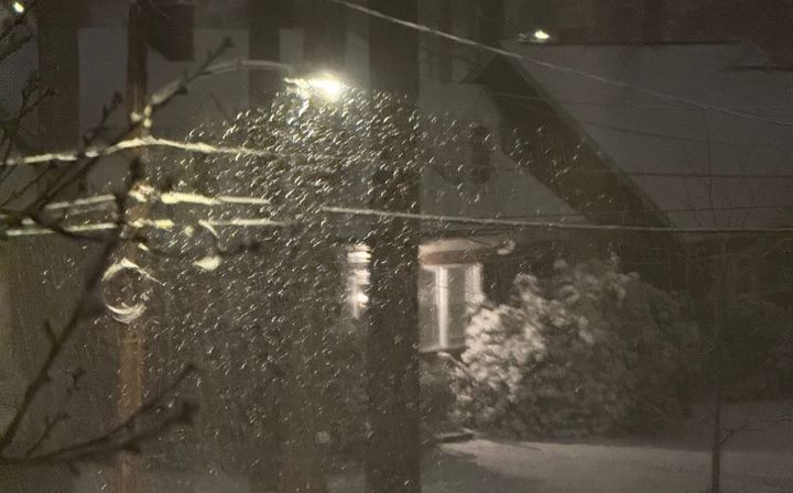
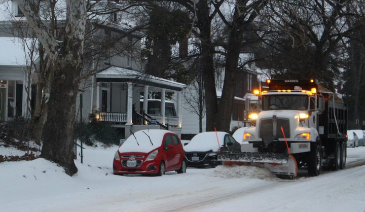
If no more snow accumulates this season, the total of 6.5 inches from the last two storms will fall shy of the full seasonal average over the last 25 years — 8.6 inches. But there is a lot of winter remaining, and the weather pattern specifically favors colder than normal weather for the next couple of weeks.
The same jet stream pattern that allows repeated surges of Arctic air into Virginia has also favored storm development from the central Gulf Coast to the Southeast. From there, storms often followed the jetstream winds northeastward in the broad direction of Virginia.
But in spite of the consistent cold, the next storm is more likely to bring light rain to Richmond than snow. A brief surge of warmer air on Friday will be enough to ensure the next system passing through on Saturday brings rain.
As that system exits Sunday, and some colder air returns, we might get into a few bands of snow showers, but nothing to suggest accumulating snow.
Beyond this weekend
With the same general jet stream pattern continuing through the following week, expect two or three more storms to develop southwest of Virginia before the end of the month.
But there is no way to know with any confidence whether any of those will bring snow, ice, rain, or anything at all yet.
Regardless, the prolonged cold will remain. Next week will average 5 to 10 degrees below normal, cementing this as the first time since June 2023 that a full calendar month averages more than two degrees colder than normal.
There is an outside chance this month could squeak into the list of 10 coldest Januaries on record, but we will probably have just enough mild days here or there between now and the end of the month to stay off of that list.
February thaw
Climatologically, middle to late January is the coldest time of the year in Richmond, and the weather pattern appears ready to transition out of this consistent cold spell just before the end of the month.
Although some data suggest a sharp swing to temperatures much warmer than normal to start February, the message coming from all of the data is not that consistent yet. But even a return to normal temperatures in February will feel much warmer.
Moreover, as we approach the end of January, the amount of daylight gained each day is accelerating. By the end of the month, Richmond will pick up an additional two minutes of daylight each day. In just two weeks, on January 29, sunset time will be at 5:30 p.m., the latest it’s been since we switched back to Standard Time in early November.
Added all up, there is light at the end of the cold January tunnel.


