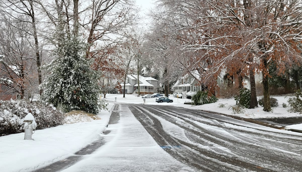
Another snow starts the weekend, but probably less this time

With especially cold air firmly in place across Virginia, and a new storm expected to take shape Thursday night along the western Gulf Coast, another good chance for snow is ahead for Richmond. Although precisely how much is still far from certain, it does not look like a massive one. In fact, it will probably be a little less than last time.
However, there are a couple of key differences with the upcoming storm.
Unlike the last one, no significant ice or rain is expected as it moves through Richmond, as the center of the storm is going to pass from southwest to northeast across North Carolina, keeping us on the cold side of the storm. It will also move more quickly than the last storm, with the core of the precipitation in Richmond between Friday night and Saturday morning.
As is usually the case, the precise positioning of the storm’s center will govern how much snow falls in Richmond, but the early idea is between a fresh coating and a few inches. The forward speed of the storm makes a big accumulation — something more than six inches — especially unlikely in Richmond.
It will not be as cold as the recent nights as the storm settles in on Friday night, generally in the upper 20s. Plus, if the snow ends quickly enough on Saturday morning, we may sneak up to 40 by the middle of Saturday afternoon.
For a sense of scale, below are some of the probabilities for the upcoming storm:
- 10 percent: More than 4 inches
- 20 percent: 2-4 inches
- 50 percent: 1-2 inches
- 20 percent: Less than an inch
Last storm review
As expected, snow totals were higher north of Richmond, with most of the city getting 2-4 inches of a slushy, snowy accumulation once the last of the snow fell Monday night.
The sweet spot for snow was along a line from Harrisonburg to Manassas, with numerous reports of more than eight inches.
Other differences this time
Locations north of Richmond will get less snow this time due to the track and movement of the storm, and depending on the precise movement of the storm, there may be an additional inch or two farther south of Richmond — in areas from Buggs Island Lake, through Emporia, and into Norfolk. A small accumulation also appears likely toward Raleigh, Greensboro, and even the north side of Charlotte.
The storm will not linger through the weekend. All signs indicate it will accelerate away from Richmond either Saturday afternoon or Saturday night. As a result, Sunday looks sunny, but still cold.
Temperatures on Sunday afternoon will be in the middle 30s, but with the sun out, any lingering snow should melt away on paved surfaces — as well as most sidewalks.
Cold will remain locked in
While it has been substantially colder than normal, and will continue to be that way well into next week, this is nowhere near the coldest start to a year. The coldest first week of the year was in 2018, when the average temperature for that week was 17.8 degrees. All seven of those nights were below 15 degrees, and we are nowhere close to that.
Next week also looks colder than normal, with afternoons generally in the 30s to around 40 and nights in the 20s. A potent surge of especially cold air is expected around Wednesday or Thursday next week, which will probably send lows deep into the teens.
But there are no indications of another storm coming next week. From Monday through Friday next week, it simply looks cold and dry.
For those itching to look for another storm, there is a signal in the data to suggest a large system coming through on the following Sunday or Monday (January 19-20). Keep that in the back of your mind for a while, but there is plenty of time to see how that one will come together.
However, those looking for a prolonged January thaw — with afternoons consistently in the 50s — are going to have to wait at least a couple of weeks longer.


